DIY Park-O – Virtual Orienteering!
Socially distanced orienteering activities – participate for free at a time that suits you.
British Orienteering have produced this great little video and an explanation of these activities, also known as Virtual Orienteering Courses.
Perhaps you’ve tried one or more of our Street-O courses and you’re looking for something more like “proper”, “forest” orienteering. We’ve set up a few courses in local parkland where you can run using your phone.
Not sure how to get started? We’re still writing the Introductory Guide, but you can look at the Introductory Guide for Street-O which has several things in common. For further guidance please see the Wiki page at https://sites.google.com/view/hh-know-how/street-o/diy-street-o.
You may run the course at any time. If you have, why not share experiences via our usual Tuesday Zoom social.
We strongly recommend recording your track (via your phone & MapRunF, or on a separate GPS-enabled device) and sharing via the MapRun results site.
Courses have been risk-assessed. For your safety you must read the pre-read information, and any additional safety information on the map.
While we believe that undertaking this activity is compliant with current social distancing regulations it is your responsibility to check, especially as guidance can change at short notice.
From 29 March, lockdown is being relaxed. All courses remain available but please consider minimising travel and staying local where possible.
See all our MapRun events on a map. This includes our Street-O courses as well.
Score courses
For these, like the Street-O events, visit as many controls as you can and return to your start point within 45 minutes. Score 20 points per control, -10 points per minute or part minute late. Time taken is used as a tiebreaker.
| Location | Postcode | Time | Map | Results |
| Heartwood | AL4 9DG | 45 minutes | Map | Results & routes |
Line courses
For these, you must visit the controls in order, starting at the triangle and finishing at the double circle. If you visit one out of order, don’t worry, just go back to the one(s) you missed and carry on. But don’t visit the finish too early because that will end your run!
| Location | Postcode | Course | Distance | Map | Results |
| Ellenbrook | AL10 9LS | Light Green | 4.3 km | Map | Results & routes |
| Blue | 6.6 km | Map | Results & routes |
How to take part:
Print out a physical map from the “Map” link in the table above. It’s A4 and ideally printed double-sided. The map itself is on one side and further information on the other. Note that the Heartwood control descriptions are also on the ‘information’ side of the map.
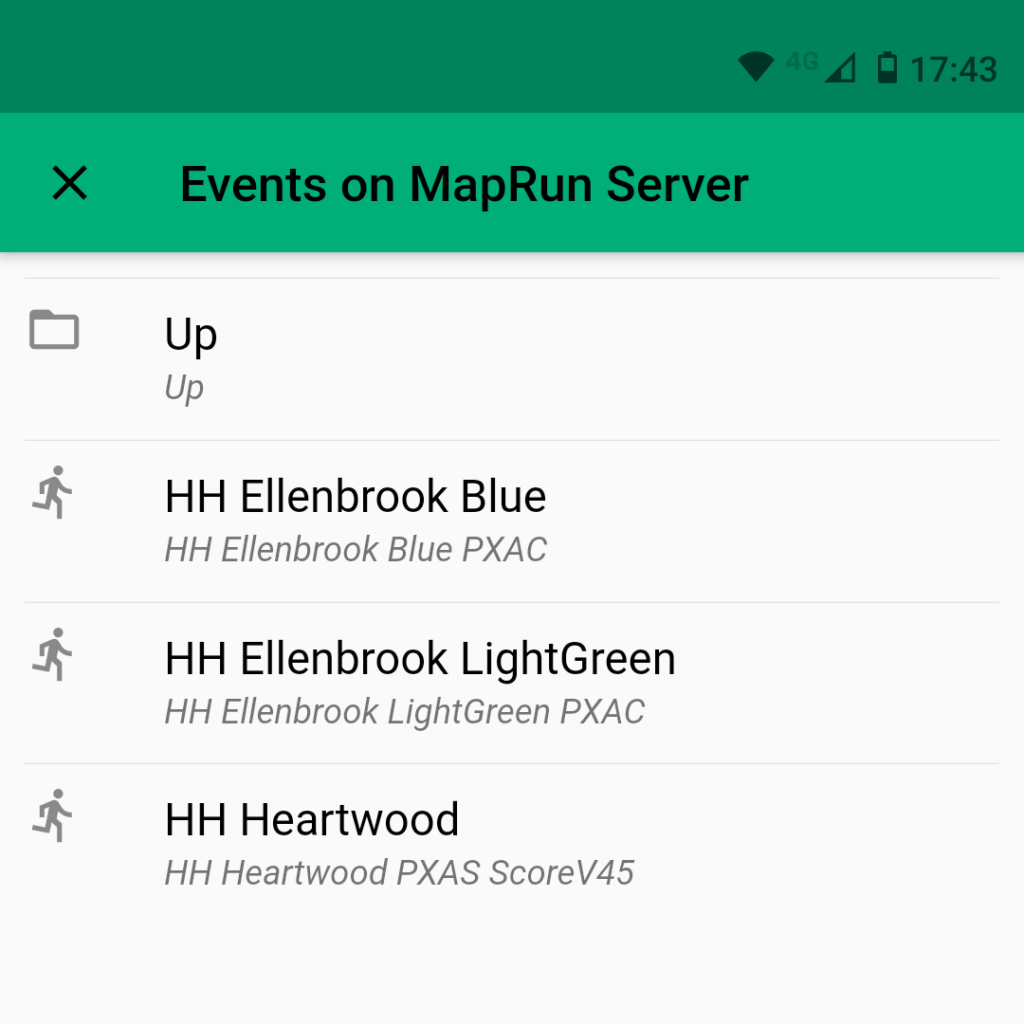
EITHER Search in the MapRunF app (before leaving home if you aren’t data-enabled) for the event (all are prefixed with “HH” and are under UK / Hertfordshire / Park-O).
OR Run with your GPS watch or other device. A phone running Strava, MapMyRun etc is fine, but you won’t get the beeps MapRun gives when you get to the control.
For watch GPS traces you can upload these after the fact via the MapRun interface at https://www.p.fne.com.au/#/gpsupload. You’ll need to save your trace as GPX, which is standard for pretty well all running apps.
Check out how others got on through the “Results” link in the above table.
Some more detailed guidance about using MapRunF is available at our Wiki and there’s also a generic MapRun quick start guide.
Finally, club members please join the club social whether or not you’ve run – 8pm, each Tues [details provided by email – or contact the street-O coordinator].