WGC Centenary Street Navigation Challenge
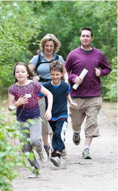
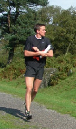
Healthy exercise with a navigational twist
- Try it any time between 29 March – 29 April
- No experience needed
- No equipment needed
- Covid safe
- FREE!
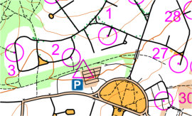
1. Download the map pack (see below). Each map shows a set of checkpoints.
2. Run, jog, or walk to visit as many checkpoints as you can in 45 mins. You can do them in any order provided you start and finish at the triangle.
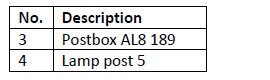
3. There’s a clue list on the map so you know you’re at the centre of the circle – but if you take your phone then the free app can tell you when you’re there!
Be Safe!
- U16s must go with an adult
- Beware traffic, especially the roads marked CARE
- Wear something bright!
- This is unsupervised – you take part at your own risk
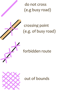
Safety Information on the map:
Top tips
Maps are generated from OpenStreetMap, so:
- detail can be imperfect, e.g. missing footpaths
- assume no access to white areas unless clearly public
Yellow = open land
Thin brown lines = contours: for expert route selection
To download your map pack, click here…